Lazing on a palm-fringed sandy beach, with sapphire water stretching out in front of you as far as the eye can see, you could be forgiven for thinking you were on a tropical island somewhere out in the ocean, rather than on the shores of Lake Malawi, hundreds of miles from the nearest coast.
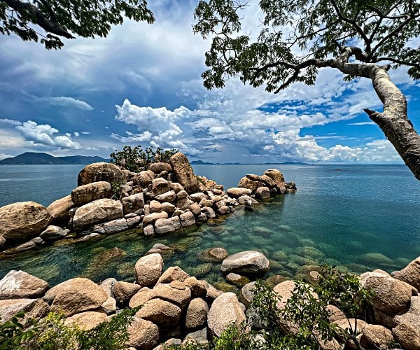
The waters of Lake Malawi stretch across roughly one-fifth of Malawi making it one of the country’s defining features. Lying in the western Rift Valley this is one of the African Great Lakes. This is Africa’s third largest (and the world’s ninth largest) lake. It’s so vast in size that it borders three countries; Malawi, Mozambique and Tanzania. This incredible body of water contains 7% of the world’s available surface freshwater and stretches over 365 miles long from north to south, is about 52 miles wide at its widest point and covers a total surface area of 11,400 square miles.
Lake Malawi is an area of exceptional natural beauty, with the rugged landscapes surrounding it contrasting with the remarkably clear waters of the lake – the undisputed drawcard of one of the friendliest countries in Africa.
What’s in a name…
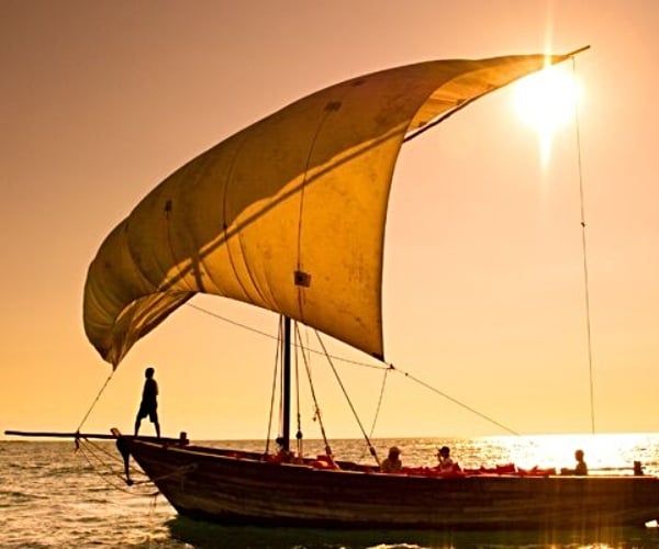
The Portuguese trader Candido José da Costa Cardoso was the first European to visit the lake in 1846. In 1859, David Livingstone was the first European to map Lake Malawi, he named it Lake Nyasa, probably unintentionally as Nyasa means lake in the local Yao language, so he’d effectively christened it ‘Lake Lake’. Livingstone also referred to the lake as Lake Nyinyesi Lake of Stars, as well as Lake of Storms – Lake of Stars, was inspired by the fishermen’s lanterns bobbing on its waters, a nighttime activity that continues today, later,…
Read Full Article Source
Related Posts
Total Trip: What I spent on a midrange-ish weekend in Madrid
I live in Lisbon, Portugal – and have recently had…

Luxury trains In India – A Luxury Travel Blog
Travel across India on luxury trains, and immerse yourself in…

21 Essential Travel Items Everyone Should Pack
Every year there are new travel gadgets and gear upgrades…